Service Area: The Lake Guntersville Shoreline
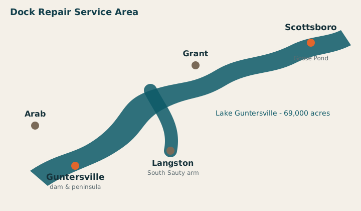
Lake Guntersville runs roughly 75 river miles from Guntersville Dam up toward Nickajack, and its shoreline crosses two counties, a half-dozen towns, and everything from main-channel wake water to quiet wooded sloughs. Work happens from the water — barge-mounted equipment — so a dock at the back of a slough is as reachable as one on the main channel.
Guntersville
The county seat peninsula — main-channel docks, Brown's Creek, and the state park shoreline.
Guntersville dock repair ›Scottsboro
Jackson County's lake town — Goose Pond, the B.B. Comer bridge shoreline, and the upper lake.
Scottsboro dock repair ›Arab
The Brindlee Mountain side — lake places on the western arms and Browns Creek approaches.
Arab dock repair ›Grant
Gunter Mountain shoreline — the north-bank coves between Guntersville and the Sauty arms.
Grant dock repair ›Langston & South Sauty
The South Sauty Creek arm — deep sloughs, wooded banks, and weekend places by the hundreds.
Langston / South Sauty ›Every area gets the same services: dock repair, boat lift repair, piling replacement, storm damage response, and new construction — all under the same TVA Section 26a rules, because it's all the same reservoir.